


For years a hiking app was a search box on a map. You typed a trail name, read the reviews, then downloaded the route. In the last year apps like AllTrails, Komoot, and Strava have rebuilt that model around AI. First, you describe your hike and get recommendations back, like a planning tool. Then, you can see a heatmap of where everyone else has already walked.
While you may be tempted to brush this off as LLM-ification of apps in general, we do think this direction could genuinely help solve some of the problems in the hiking world.
The front end: you describe the hike
AllTrails opened the AI push more than a year ago. Its May 2025 Peak launch added smart-routing that uses AI to take an existing trail and make it shorter, less steep, or more scenic on a tap. Komoot in February 2026 launched a ChatGPT app. Type @komoot in ChatGPT, describe the journey you're looking for, and it returns suggestions pulled from komoot's library of more than 7 million routes.
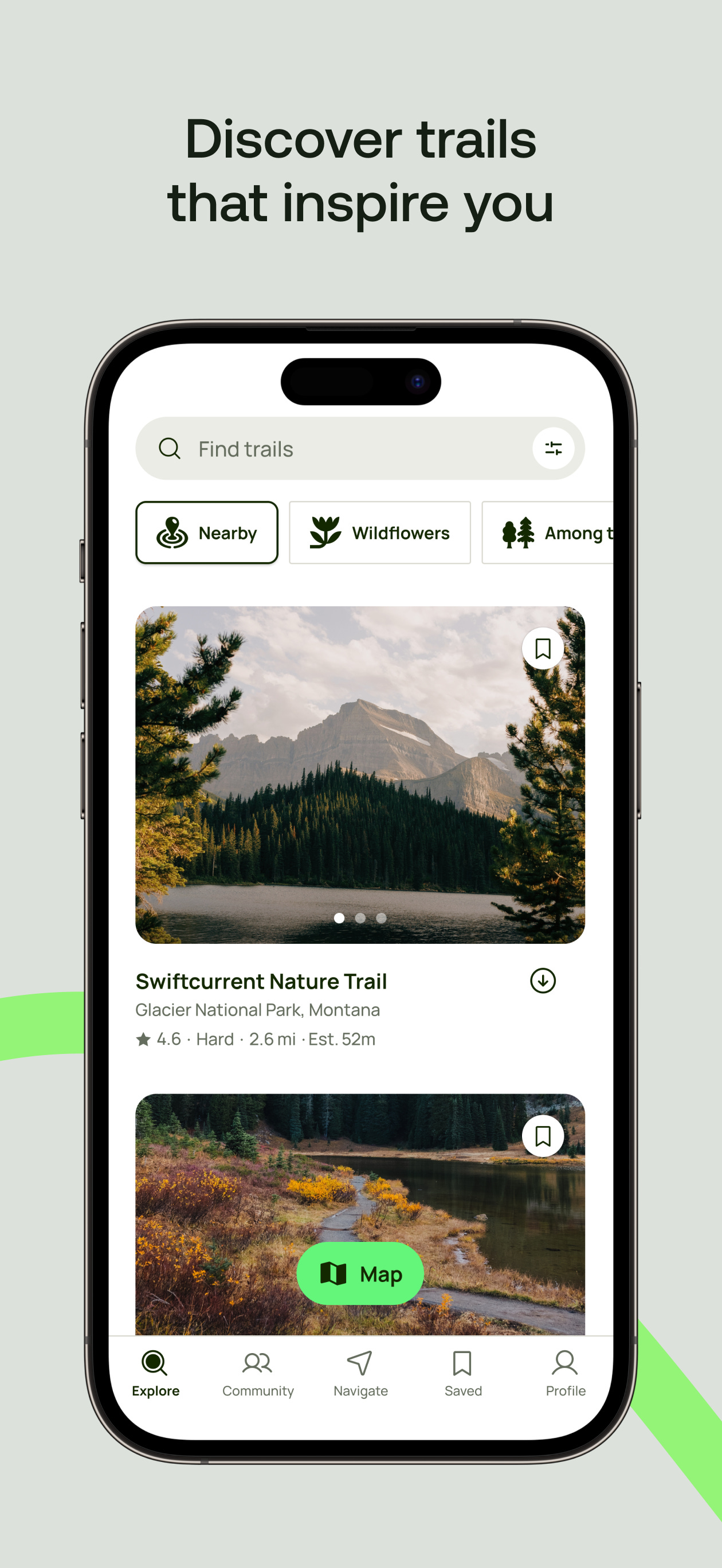
AllTrails launched more AI features in April 2026, putting its trail database inside Claude, Anthropic's AI assistant. Now you can describe the hike you're looking for in plain language, and the app surfaces matches.
Strava wired in Claude too, but is enabled for questions that aim at a user's own data. Subscribers can ask plain-language questions about their own training history, for example.
We happen to think this is the right way to go in the sense that this is an information retrieval exercise. Just as google search is pivoting away from providing relevant links and more towards providing "the answer," we think most hikers tend to start their search with a feeling.
For example, I want to see the best views in Washington State for minimal effort. I want a really long, difficult day with an alpine lake at the top and empty campsites. So, in general, we're excited about this direction.
Now hopefully it goes without saying, but these tools can only retrieve and arrange what the company has already mapped. Whether a suggested route suits your legs and the weather is up to you both in terms of correctly prompting the engine and of course, actually finishing out the route.
The back end: the crowd draws the map
A second feature we're seeing across the industry is heatmaps. AllTrails' Community Heatmaps, part of its paid Peak membership, shades trails by how many people have traversed them over the past twelve months, updated monthly. Dark for heavy traffic, pale for quieter trails. Separately, AllTrails runs a Public Lands Program that shares that anonymized movement data with the agencies that manage the trails.
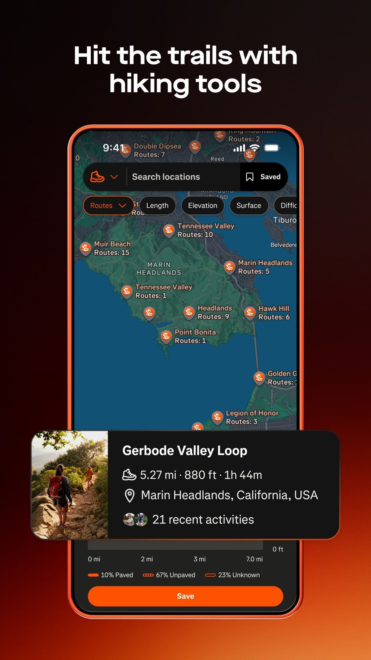
Strava has run its Global Heatmap for years. In its June 2026 hiking update it made that heatmap the engine of Route Discovery, surfacing an area's popular routes from what members walked in the past. Gaia GPS takes a simpler cut at it: its Public Tracks layer lays more than two million individual user recordings on the map, split by activity, so a hiker sees hiking lines instead of ski or off-road and can copy the exact route someone else walked.
For us what's still missing here is the actual live look, similar to Google's 'How Busy Is It' feature. Is the trailhead parking lot full, does the summit look like Costco on a Saturday, etc. While this is a massive technological hurdle to solve, the industry's current implementations feel lackluster.
An historical reading / projection isn't really a value add for those wondering whether they should pull up to the trailhead now or wait a few hours for people to clear out. And showing up on a Saturday at 10 am to a packed trailhead when historical data showed crickets is likely to lose user trust quickly.
Originally published at jadepeak.com.
